|
Hold on While Loading Virtual Maps and routing ride # 235 | ||||||
|
|
Comment/Story/Advice: 2008-04-05 19:09:50
from LA (san fernando valley), CA:
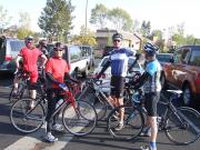
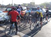
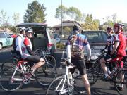
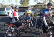
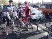
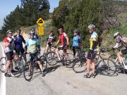
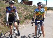
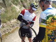
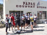
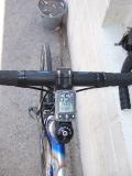
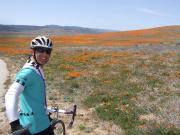
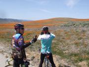
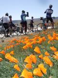
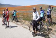
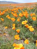
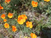
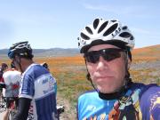
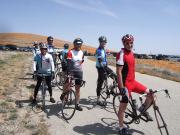
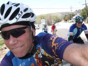
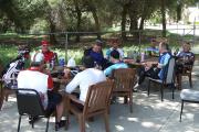
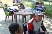
somehow the info for elevation is wrong. After riding the route, the elevation gain is actually 6250ft (so the map above is about 300 ft less) Some info about the photos: You see the 65m/h photo of a standing still bike. If you have a wireless computer & you stop at paps country store, place your bike on the window to the right of the door and watch your speed. April 5 08 was kind of cold, and very windy all day long. It made the ride very hard. Even going down the last 15 miles on Bouquet Canyon required work... you coudn't go down hill! Post a Comment for ride #235; Level 5; 89.3 miles
| ||||||||||||
